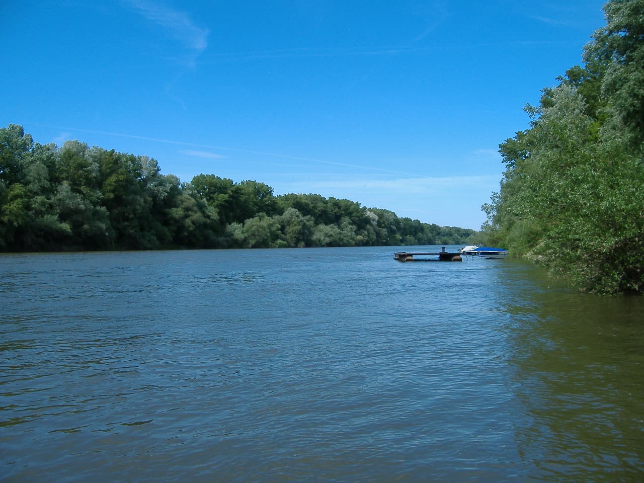
The Tisza, Tysa or Tisa (see below) is one of the major rivers of Central and Eastern Europe. It was once called "the most Hungarian river" because it flowed entirely within the territory of the Kingdom of Hungary. Today, it crosses several national borders. The Tisza begins near Rakhiv in Ukraine, at the confluence of the White Tisza and Black Tisza, which is at coordinates 48°4′29″N 24°14′40″E (the former springs in the Chornohora mountains; the latter in the Gorgany range). From there, the Tisza flows west, roughly following Ukraine's borders with Romania and Hungary, then briefly forming the border between Slovakia and Hungary, before entering into Hungary, and finally into Serbia. The Tisza enters Hungary at Tiszabecs, traversing the country from north to south. A few kilometers south of the Hungarian city of Szeged, it enters Serbia. Finally, it joins the Danube near the village of Stari Slankamen in Vojvodina, Serbia. The Tisza drains an area of about 156,087 km2 (60,266 mi2) and has a length of 966 km (600 mi) Its mean annual discharge is seasonally 792 m3/s (28,000 cu ft/s) to 1,050 m3/s (37,000 cu ft/s). It contributes about 13% of the Danube's total runoff. Attila the Hun is said to have been buried under a diverted section of the river Tisza.
