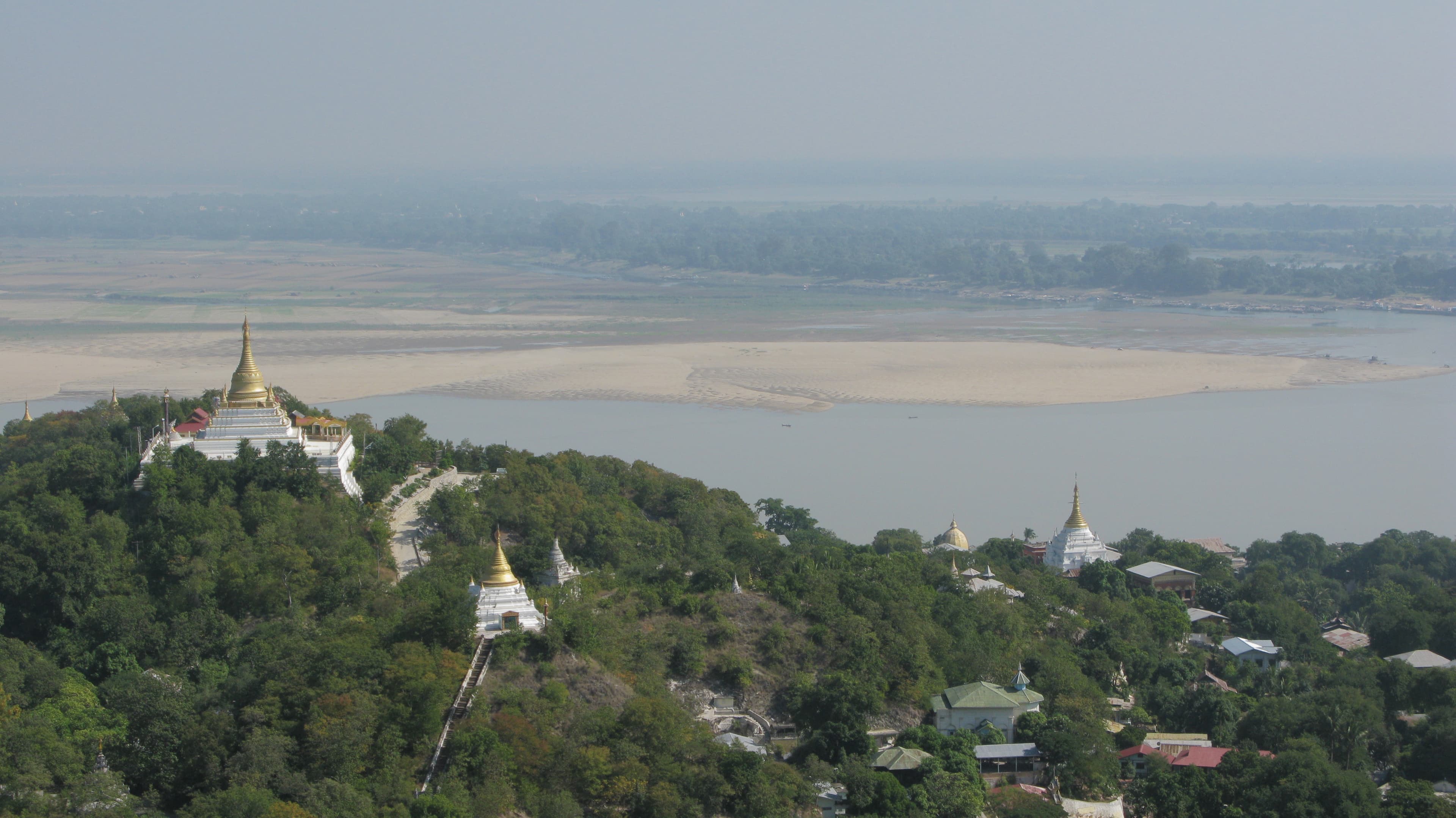
The Irrawaddy River (Burmese: ဧရာဝတီမြစ်, pronounced [ʔèjàwədì mjɪʔ], official romanisation: Ayeyarwady) is the principal river of Myanmar, running through the centre of the country. Myanmar's most important commercial waterway, it is about 1,350 miles (2,170 km) long. Originating from the confluence of the N'mai and Mali rivers, it flows from north to south before emptying through the Irrawaddy Delta in the Ayeyarwady Region into the Andaman Sea. Its drainage basin of about 404,000 square kilometres (156,000 sq mi) covers 61% of the land area of Burma, and contains five of its largest cities. As early as the sixth century, the river was used for trade and transport, and an extensive network of irrigation canals was developed to support agriculture. The river is still of great importance as the largest commercial waterway of Myanmar. It also provides important ecosystem services to different communities and economic sectors, including agriculture, fisheries, and tourism. In 2007, Myanmar's military dictatorship signed an agreement for the construction of seven hydroelectric dams, yielding a total of 13,360 MW, on the N'mai and Mali Rivers, including the 3600 MW Myitsone Dam at the confluence of both rivers. Environmental organisations have raised concerns about the project's ecological impact on the river's biodiverse ecosystems. Animals potentially impacted include the endangered Irrawaddy dolphin and the critically endangered Ganges shark.
